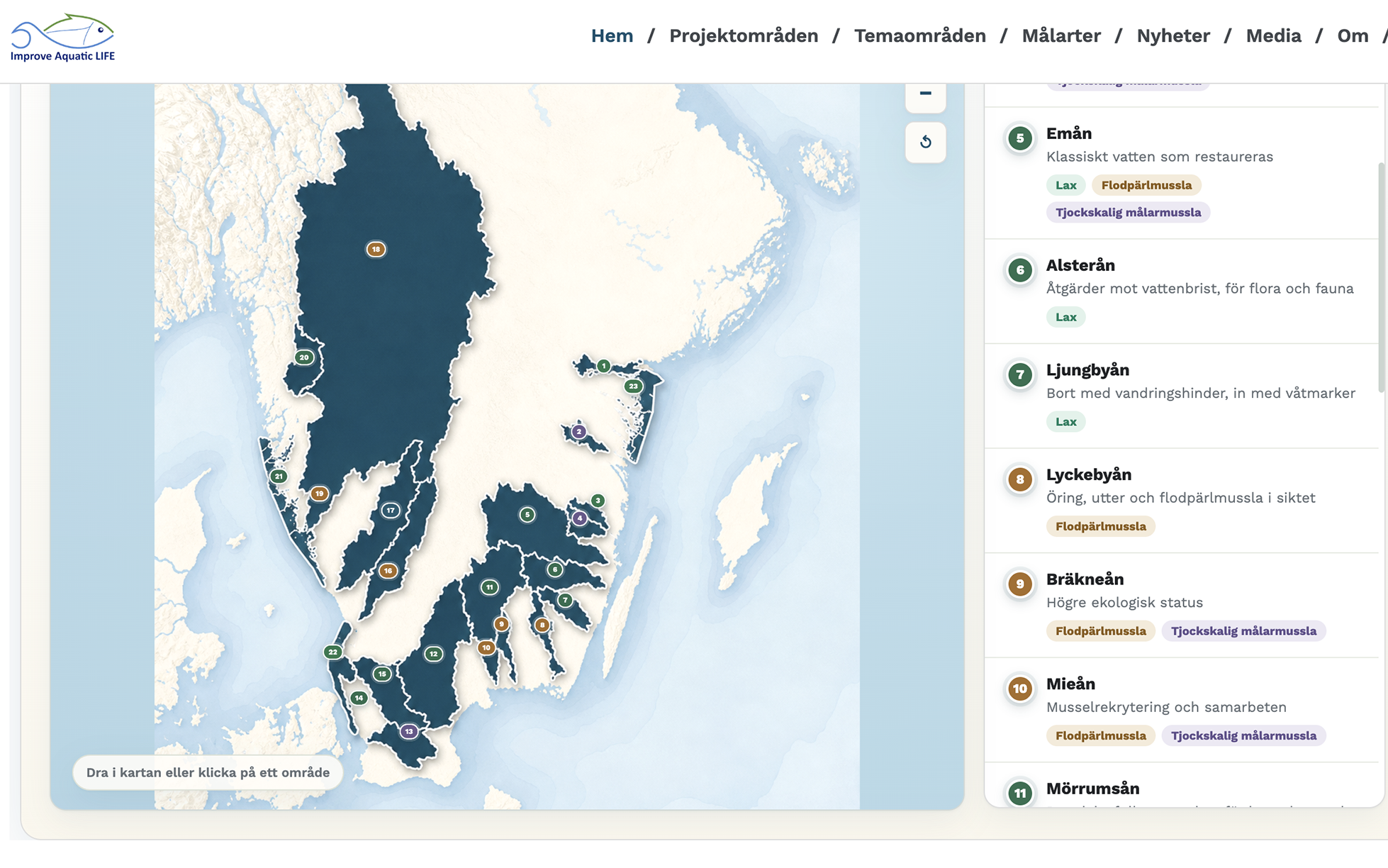
How do you find out about the project’s actions? What’s happening in your specific area? Now it’s easier to find the answers. With the new map feature, you can quickly explore all the different project areas within Improve Aquatic LIFE and click through to learn more about the background and actions taking place at each location.
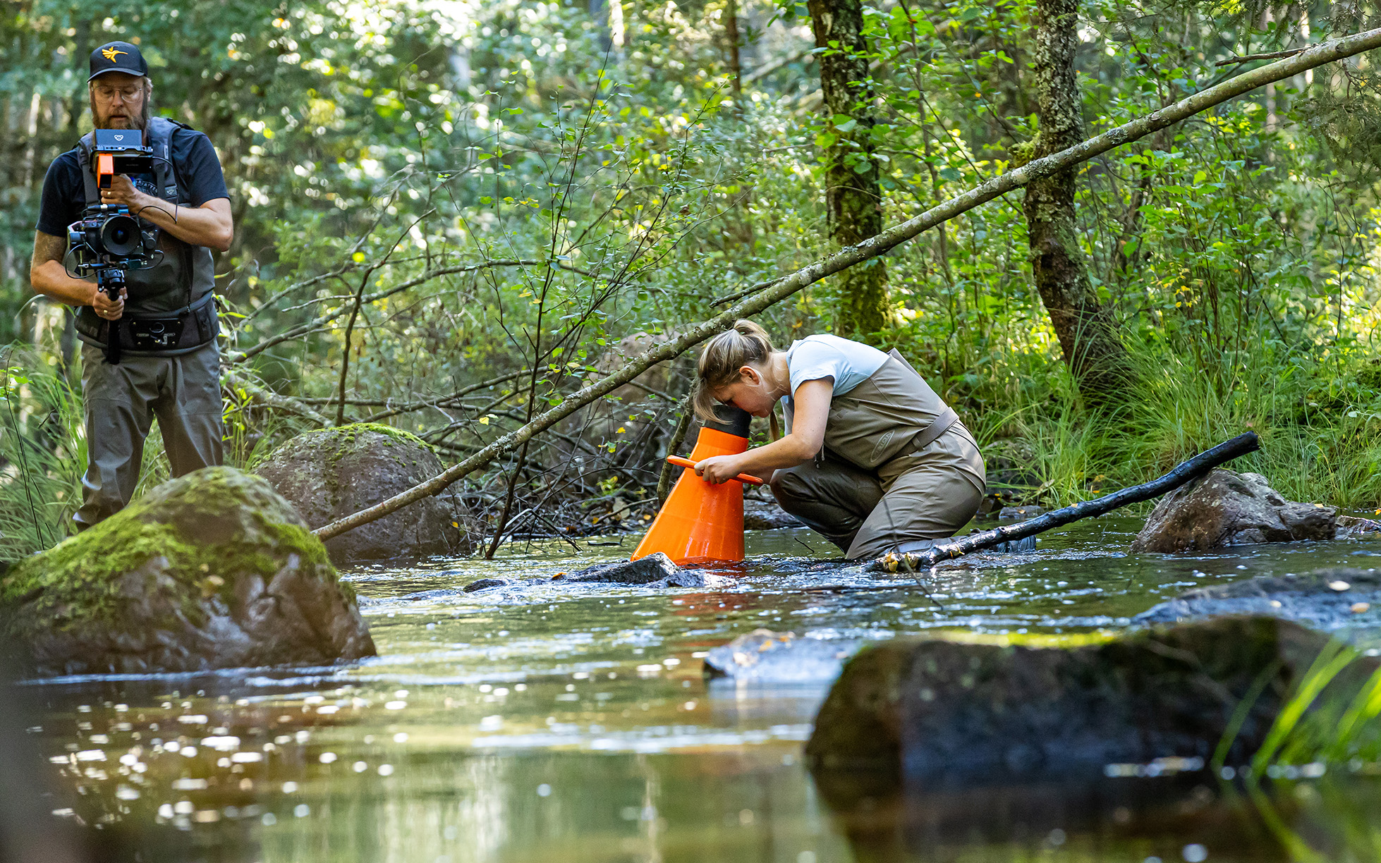
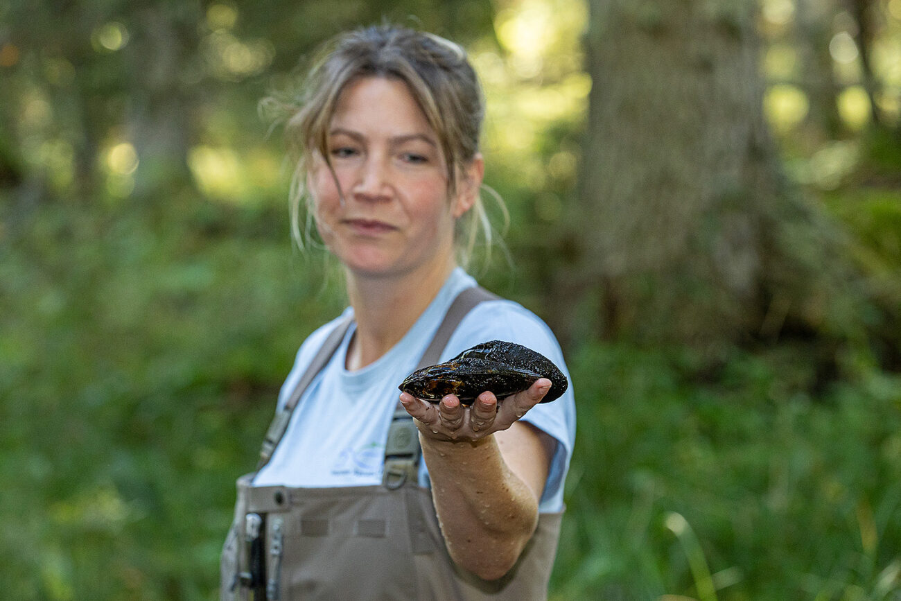
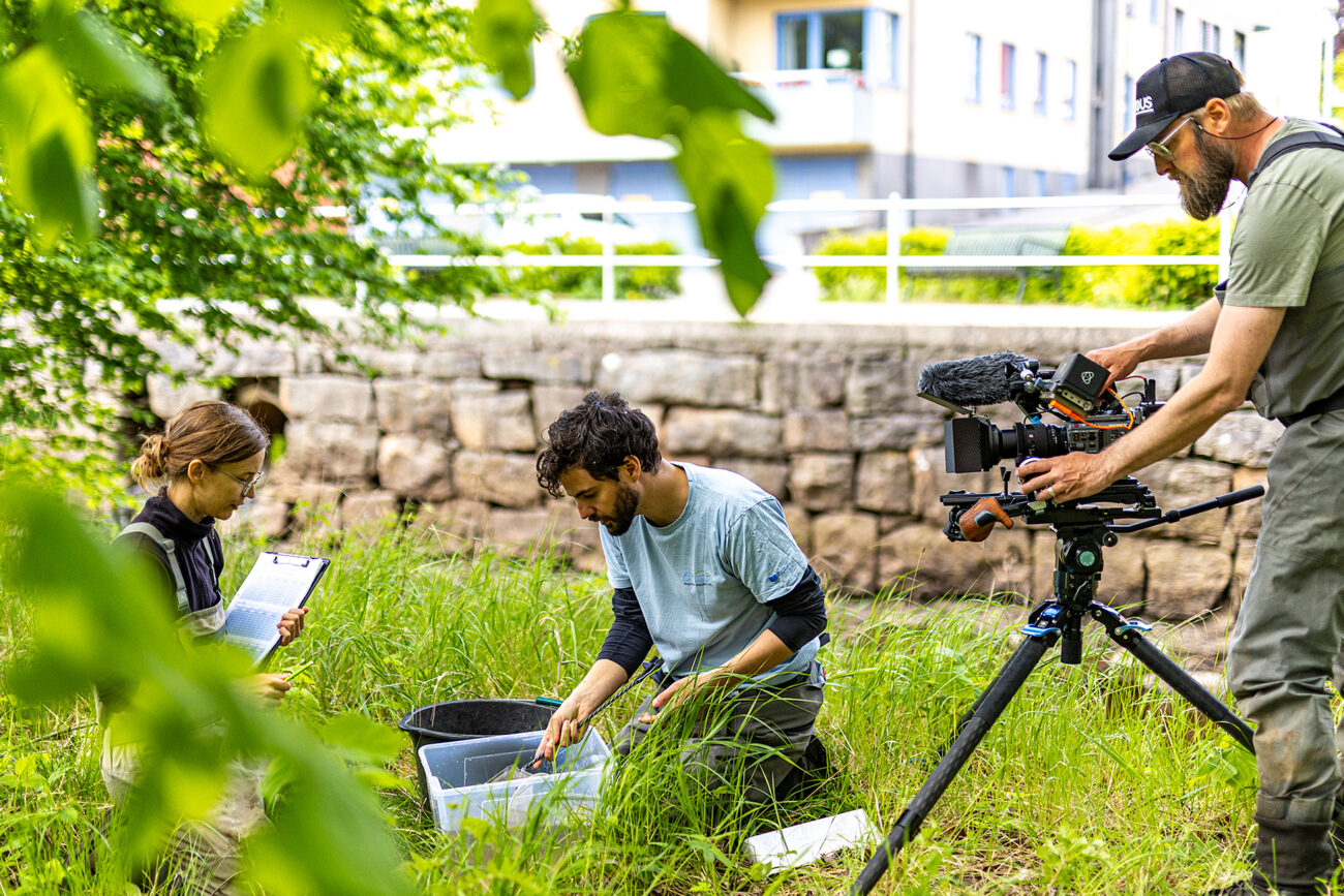
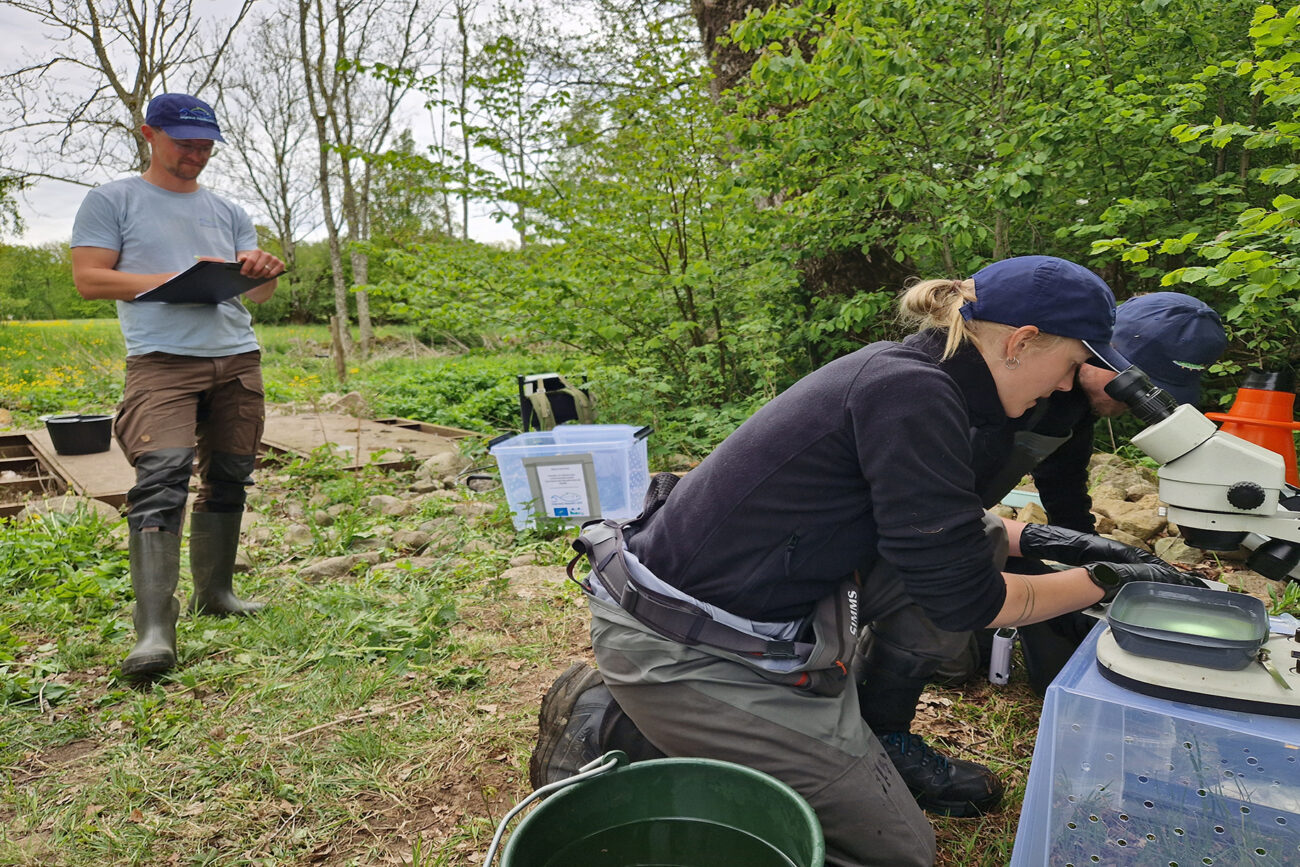
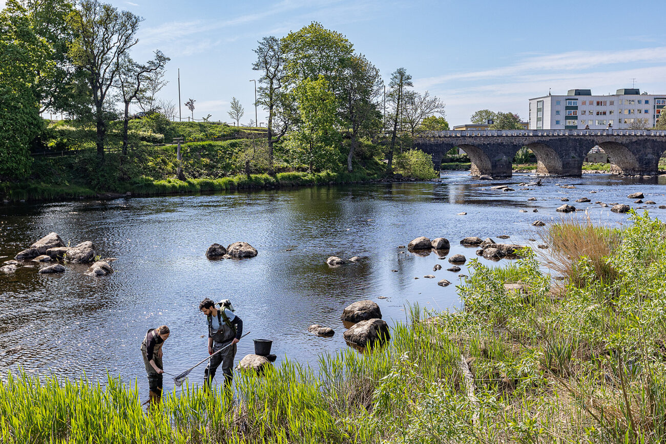
In Silverån, the inventory of freshwater pearl mussels has been documented.
Photo: Nicka Hellenberg
Improved functionality and overview
The new map features a clearer layout and design that makes it easier to get an overview of the project’s many initiatives—from rivers and lakes to coastal environments, from streams and wetlands and out toward the sea.
It is now easier to navigate the map, move the map view, zoom in and out, and find the various project areas. This allows you to quickly explore where in the country the project is active and learn more about what is happening in different locations.
It’s now easier to navigate the map
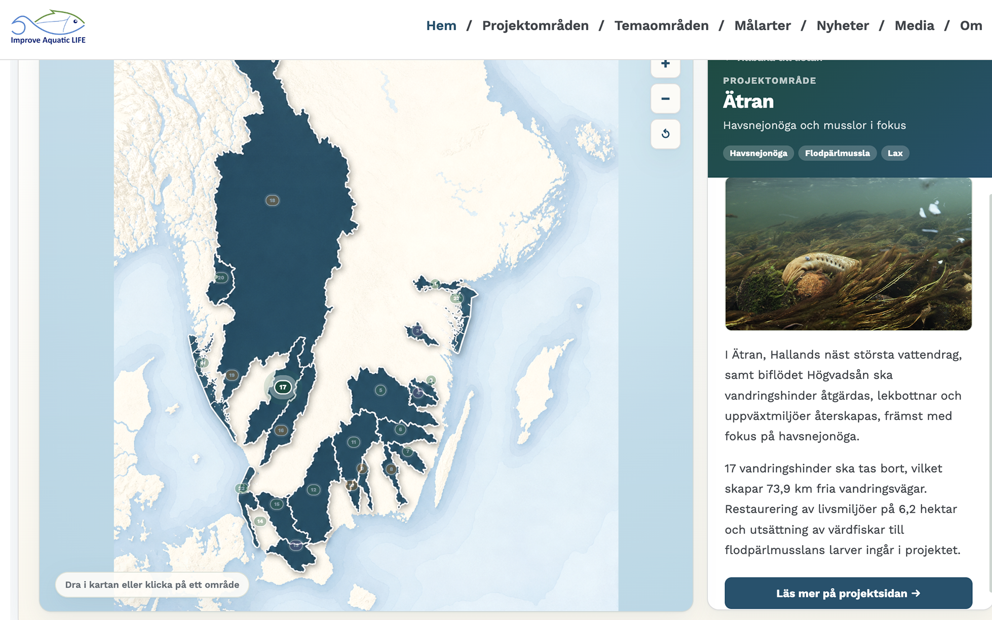
Clearer graphics, smarter features. Use the new map to navigate the project areas.
Here’s how it works:
Click on the project area you’re interested in. A brief summary will then appear right next to the map. From there, you can easily click through to the project area’s own page, where you’ll find more information about the area, planned measures, and the work being carried out.
Improve Aquatic LIFE encompasses over 500 initiatives in nine counties. The map therefore provides an easy way to see the scope of the project and follow the work being done in different locations—from source to sea. Explore the new map and discover what’s happening in your area.